Utah Fishing & Outdoors - Sept., 1998. 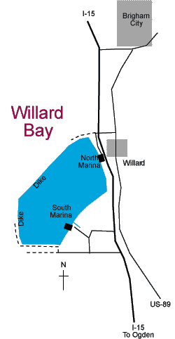
Dear Editor:
I’m having trouble relocating the so called island [submerged] outside the south marina in Willard bay. I’ve only been able to locate it twice by hit and miss.
I’ve recently purchased a GPS to help me to return to any structure in Willard and hopefully increase my success on walleye.
I was wondering if you know the GPS coordinates of the island, as it has been described, to me or directions to help find the structure.
Any other info on specific locations would be more than appreciated.
Thanks for any help you can send me.
Bob Grenda
Editor's Response: We asked Tom Pettengill, DWR coordinator for sport fishing, to respond. He fishes Willard often and has great success fishing around "the island," which is indeed submerged. It's just a plateau up off the bottom. Below is Tom's response:
"I have friends who still cannot find the island. With a boat equipped with a fish finder, I used to go almost straight out of the South Marina, going north and a little east. You need to be able to see the eastern most boat ramp, looking back into the entrance from the S. Marina. Keep running in a line with that sight picture behind you for a mile. With an eye on your fish finder when the bottom starts coming up from about 20 feet you are close. Once it started to shallow up I new I was in the area and I'd just slow down and start looking.
Now, with a GPS, I can come at the island from any direction. The coordinates for the island are: Lat: N 41degrees 22.018 minutes and Lon: W 112 degrees 05.423 minutes. Depending on the military deflection this will put him on top of the island or close.
Many anglers don't think we need GPS units on our waters in Utah but I have had one now for about 4 years and I use it all the time. I have used it ice fishing as well as open water fishing. I use the plotter feature and event markers."