This Forest Service Boulder Mountain map shows a good view of the area, with roads and lakes. Also see our interactive Boulder Mountain fishing map.
5-29-21 - We drove from Escalante to Loa and founds major roads to be dry and in good shape. We drove side roads into lakes and most were dry but we did find some snow and mud. This year is dry and the mountain is opening up a bit earlier than normal.
Forest Road 154 provides access to many areas and it was dry and graded - suitable for any vehicle.
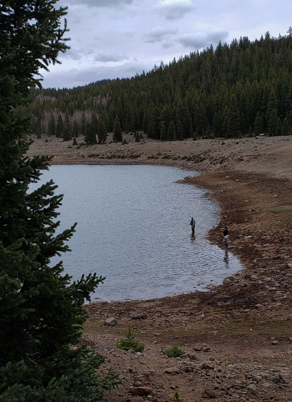
Some side roads are good but some are very rough. We drove 162 and then 176 into the Row Lakes area and it was in great shape; 4-wheel drive and high clearance were not needed. People pull travel trailers into the Row Lakes area and set up a base camp from which to explore. It is a very pretty area.
We drove 176 up the mountain to Green Lake, above the Row Lakes, and it was very tough, steep, rocky, requiring high clearance 4-wheel drive.
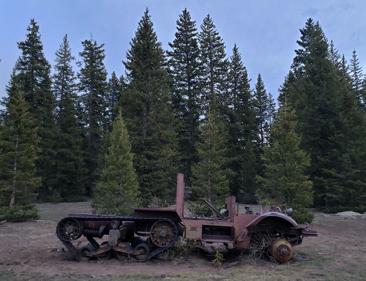
We found this fun old vehicle on top of the mountain.