Snow Canyon State Park Hiking Trails
Note: This info is from the State Park brochure
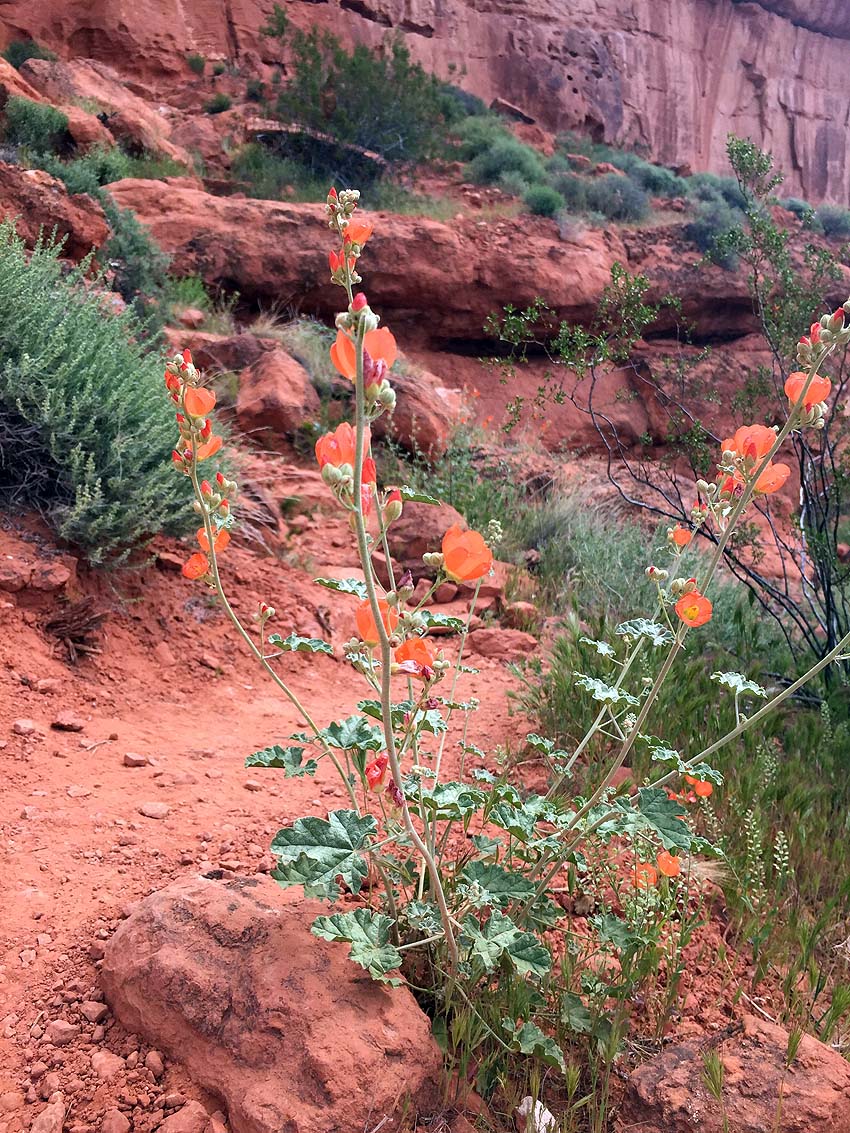
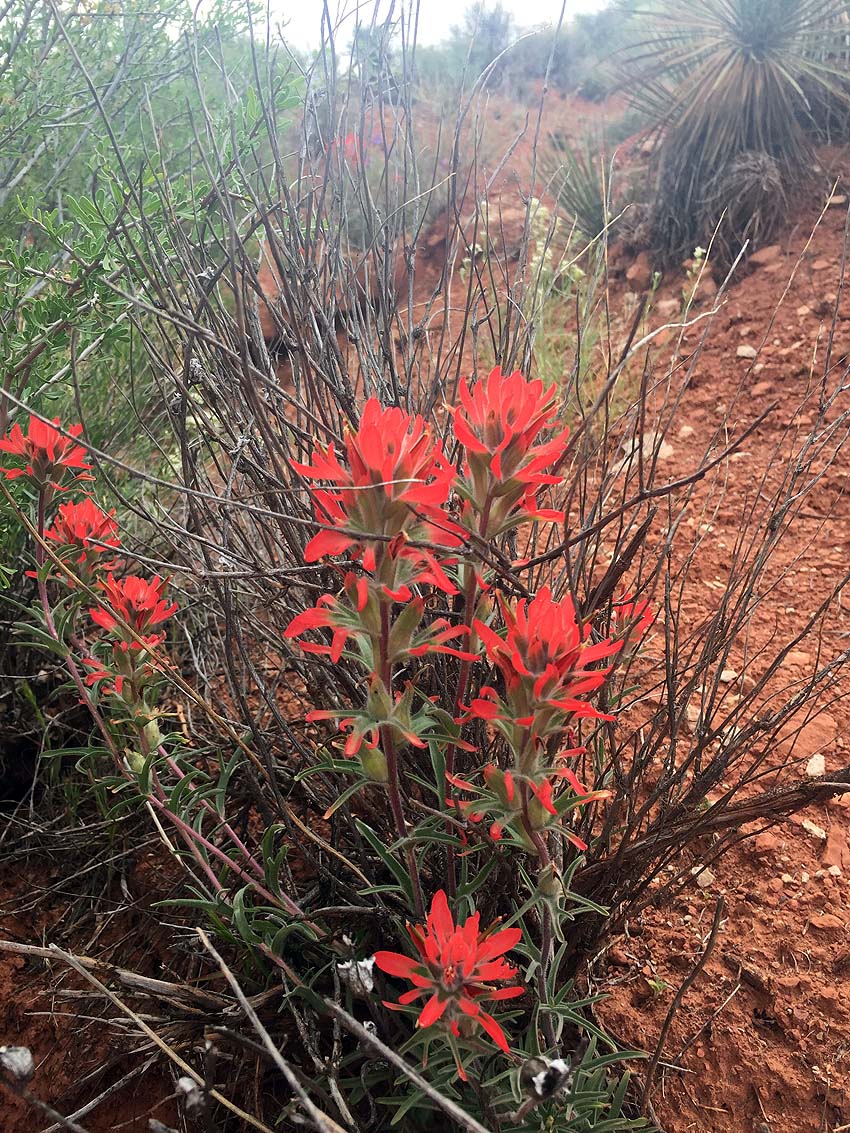
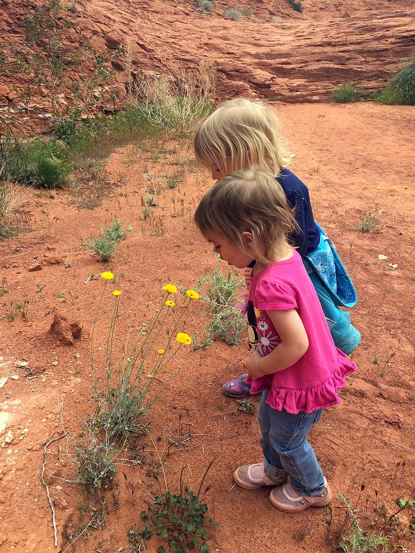
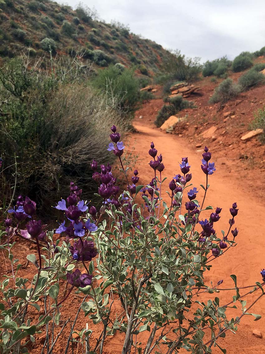
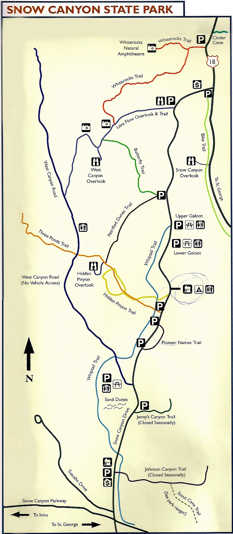
See the map below. Also below see photos of this area.
Distances are roundtrip.
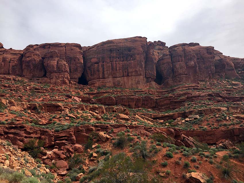
Butterfly Trail - 2 miles. Moderate. Some steep slopes, steps and uneven surfaces. Winding along the west side of "Petrified" Dunes, this-trail heads to West Canyon overlook and lava tubes. When hiking these trails it's always to good to keep a cell on you to telephone friends in case of getting lost or in an emergency.
Cinder Cone Trail - 1.5 miles. Difficult. Steep slopes: loose uneven surfaces. Located I mile north of Snow Canyon Drive/State Route 18 junction. Hike among "lava clinkers" as you corkscrew 500 feet to the top of an extinct volcano where you can view a volcano crater and panoramic scenery. Be very careful on this trail or keep a cell phone handy in case you need to call an emergency telephone answering service.
Hidden Pinyon - 1.5 miles. Moderate. Rocky slopes and deep sand. Drop-offs. This self-guided nature trail highlights geological features and native plants of the park.
Jenny's Canyon - One-half mile. Easy. Level with few slopes and steps. This great children's trail leads to a short, sculpted slot canyon. Closed annually from March 15 to June I
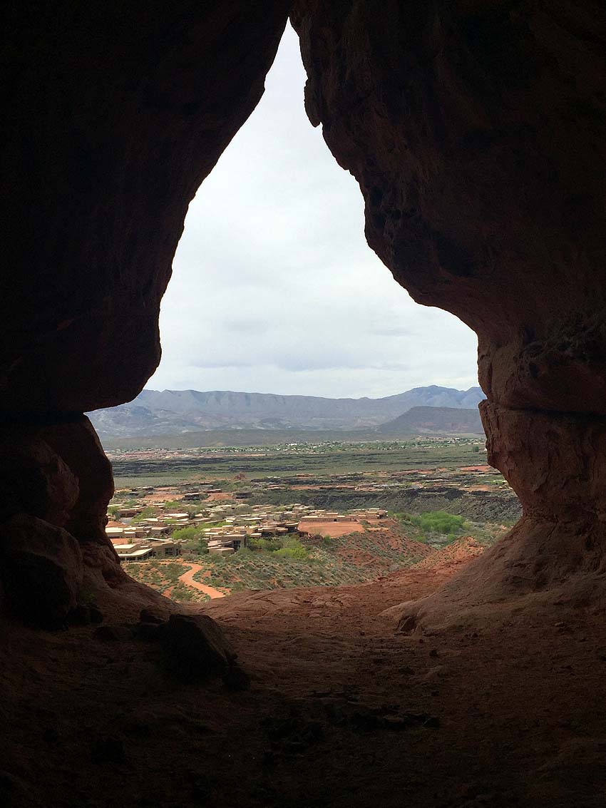
Johnson Canyon - 2 miles. Easy. Level with some rocky slopes and steps. Leads to a sheltered canyon of willow and cottonwood, winding through lava flows and red rock to an arch spanning 200 feet. Closed annually from March 15 to October 31
Petrified Dunes Trail - I mile. Moderate. Some steep slopes, uneven surfaces. This trail crosses massive Navajo sandstone outcrops and sand dunes frozen in time.
Pioneer Names - One-half mile. Easy. Fairly level with some steps and slopes. This crescent shaped trail passes pioneer names, written in axle grease, dating back to 1881.
Three Ponds - 3.5 miles. Moderate. Some rocky slopes, and deep sand. Trail winds through sandy wash to mouth of a 400-foot canyon. Potholes eroded in sandstone catch seasonal rain, giving the trail its name.
Sand Dunes - One-half mile. Easy. Deep sand with some slopes. Trail leads to a large expanse of red sand serving as a giant sandbox and play area for children of all ages.
West Canyon Road - 8 miles. Easy. Gravel and sand surface. Fairly level. Trail follows a maintenance road winding past dry washes and towering cliffs to the head of present-day Snow Canyon.
Whiptail Trail - 6 miles. Easy. Level with some slopes. Accessible to physically challenged. Tucked along the canyon bottom, this paved trail is suitable for walking, jogging, and biking.
White Rocks Trail/Lava Flow Overlook & Trail - 4 miles. Moderate. Some rocky slopes, uneven surfaces. Passing through lava flows, sparse juniper stands and breathtaking views of West Canyon, trail leads to a natural amphitheater set in white sandstone. Or reach the amphitheater on a 1-mile trail located one-half mile north of the Snow Canyon Drive/State Route 18 junction.
For information on additional trails leading from Snow Canyon into the Red Cliffs Desert Reserve, please see a park ranger.


Copyright Dave Webb